Publications

LiDAR Missing Measurement Detection for Autonomous Driving in Rain

Published in 2023 IEEE/RSJ International Conference on Intelligent Robots and Systems (IROS 2023), 2023

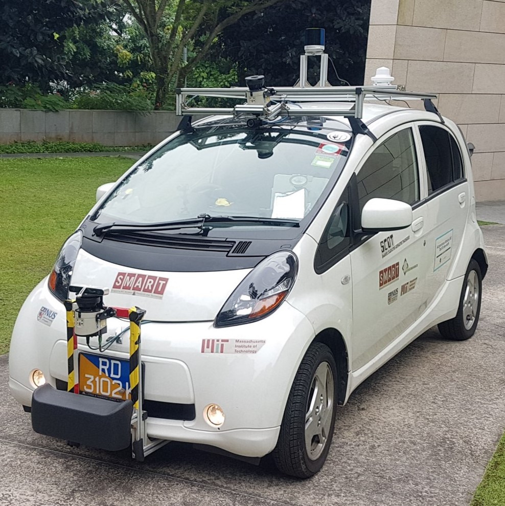
Autonomous driving in rain remains challenging. Rain causes sensor performance degradation that can affect sensor measurement quality. During the rain, lasers may suffer from energy loss due to raindrop absorption. As a result, some laser measurements reflected from obstacles may not be recognized by the LiDAR sensor, thus raising potential risks for autonomous vehicles. This work investigates a novel task that aims to detect those missing measurements. Our solution uses a two-stage learning method to generate an anomaly score for each missing measurement, representing the likelihood of being caused by rain. We evaluate our method with real-world data and demonstrate its effectiveness in identifying anomalous missing measurements through qualitative and quantitative experiments.

SMART-Degradation: A Dataset for LiDAR Degradation Evaluation in Rain

Published in 2023 IEEE/RSJ International Conference on Intelligent Robots and Systems (IROS 2023), 2023

Sensor degradation is one of the major challenges for autonomous driving. During the rain, the interference from raindrops can negatively influence LiDAR measurements. For example, valid measurements could be reduced during the rain, and some measurements may become noisy. Unreliable measurements can lead to potential safety issues if autonomous driving systems are unaware of these changes. In this work, we will release a naturalistic driving dataset to advance the research in studying LiDAR degradation. Our dataset consists of 3D LiDAR scans collected by a data collection vehicle under various rainy conditions. Besides these raw scans, we also release LiDAR scan pairs (each pair consists of one scan from rainy weather and one scan from clear weather at the same location). These LiDAR pairs are developed to help researchers identify LiDAR degradation. Finally, we will release a toolbox integrated with mapping, localization, and scan synthesis functions used to create this dataset. This toolbox can facilitate dataset creation for studying degradation in other harsh weather conditions.

SMART-Rain: A Degradation Evaluation Dataset for Autonomous Driving in Rain

Published in 2023 IEEE/RSJ International Conference on Intelligent Robots and Systems (IROS 2023), 2023

Autonomous driving in the rain remains a challenge. One main problem is performance degradation caused by rain. This work introduces a new dataset to study this problem. Our dataset is collected from a full-scale vehicle equipped with a 3D LiDAR sensor and multiple forward-facing cameras under various rainy conditions. In addition, rainfall intensity is recorded in real-time from a rain sensor. The combination of sensor and rainfall intensity measurement is designed for studying algorithm performance under different levels of rainfall. In this work, in addition to presenting dataset creation details, we also introduce three degradation evaluation tasks with baseline results, including rainfall intensity estimation, LiDAR degradation estimation, and 2D object detection evaluation. This dataset, development kit, and baseline codes will be made available.

SmartRainNet: Uncertainty Estimation For Laser Measurement in Rain

Published in 2023 IEEE International Conference on Robotics and Automation (ICRA 2023), 2023

Adverse weather has raised a big challenge for autonomous vehicles. Unreliable measurements due to sensor degradation could seriously affect the performance of autonomous driving tasks, such as perception and localization. In this work, we study sensor degradation in rainy weather and present a novel method that evaluates the uncertainty for each laser measurement from a 3D LiDAR. With uncertainty estimation, downstream tasks that rely on LiDAR input (e.g., perception or localization) can increase their reliability by adjusting their reliance on laser measurements with varying fidelity. Alternatively, uncertainty estimation can be used for sensor performance evaluation. Our proposed method, SmartRainNet, uses an attention-based Mixture Density Network to model the dependence between neighboring laser measurements and then calculate the probability density for each laser measurement as an uncertainty score. We evaluate SmartRainNet on synthetic and naturalistic sensor degradation datasets and provide qualitative and quantitative results to demonstrate the effectiveness of our method in evaluating uncertainty. Finally, we demonstrate three practical applications of uncertainty estimation to address autonomous driving challenges in rainy weather.

Lidar degradation quantification for autonomous driving in rain

Published in 2021 IEEE/RSJ International Conference on Intelligent Robots and Systems (IROS 2021), 2021

Autonomous driving in rainy conditions remains a big challenge. One of the issues is sensor degradation. LiDAR is commonly used in autonomous driving systems to perceive and understand surrounding environments. However, LiDAR performance can be degraded by rain, thereby influencing other system performance (e.g., perception or localization). Therefore, knowing how much degradation exists in current LiDAR measurements is necessary. Most existing methods can only measure LiDAR degradation in controlled environments (e.g., a chamber with simulated rain); how to quantify LiDAR degradation in dynamic environments while the autonomous vehicle is moving is still a difficult problem. In this work, we propose a novel approach to address this problem using an anomaly detection method. Our method has been evaluated on simulated and real-world data. Experimental results demonstrate the effectiveness of our method to capture LiDAR degradation and yield reasonable degradation estimations.